2 July 2006
No pictures from this day. This is a very, very familiar route. Not only is it the third time I have driven it myself in the past 2 years, it is also the route my parents and I would take every summer for many years when I was growing up.
3 July 2006
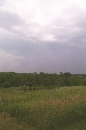
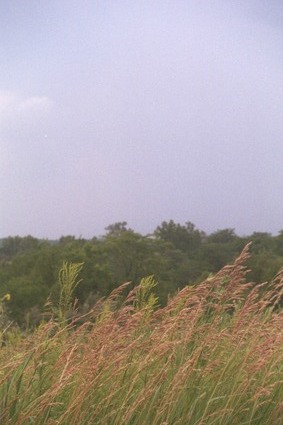
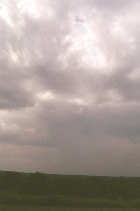
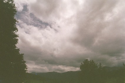
The storm you can see approaching in these pictures hit when I was about 30 to 40 miles outside of Moline, IL. I encountered much more rain on this trip west than I had the previous year. That is to say, this time as I was driving west, it rained in places other than the desert.
4 July 2006
This was a short day, with no pictures. I probably could have made it to Iowa from Maryland in two days instead of three, but that would mean that I would've had to skip stopping at Columbus on the way back west, and that I would not have much time to visit with relatives in Iowa. So I decided to just retrace my family's old summer vacation and family visit route (albeit a bit accelerated in terms of visiting time).
5 July 2006
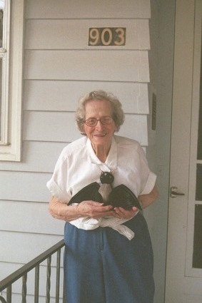
This is my Grandma Eichman, whose house I stayed at. She was kind enough to pose with Tybalt on her front porch the morning I left.
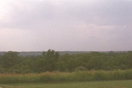
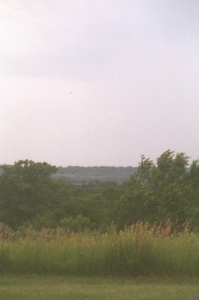
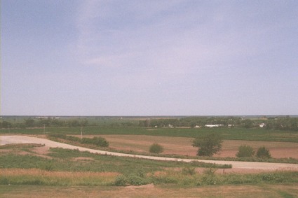
Nebraska is flat. Very flat. Flatter than Iowa, even, which was my previous baseline for “very flat.” My impression of the landscape was that it was as if someone had taken Oklahoma and ironed it.
I guess I should drive through Kansas at some point and see how it compares in terms of flatness. It may very well win.
6 July 2006
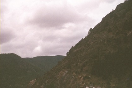
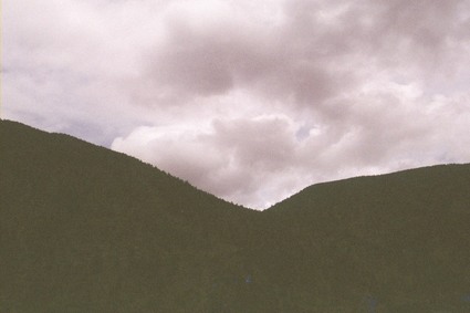
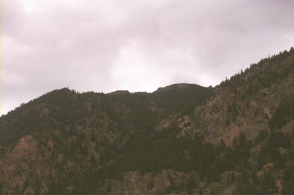
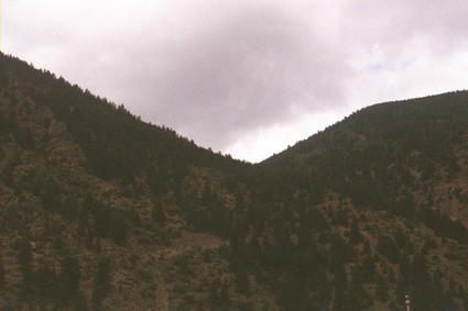
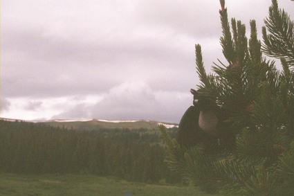
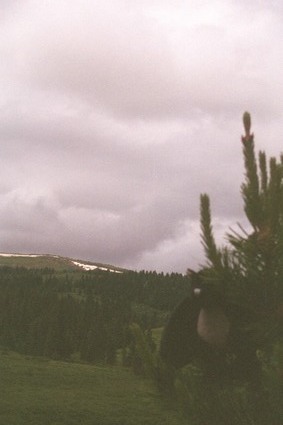
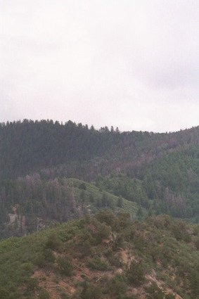
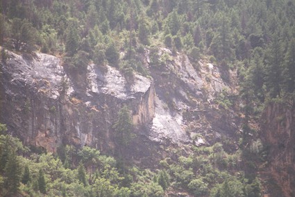
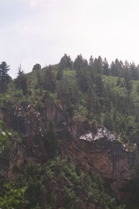
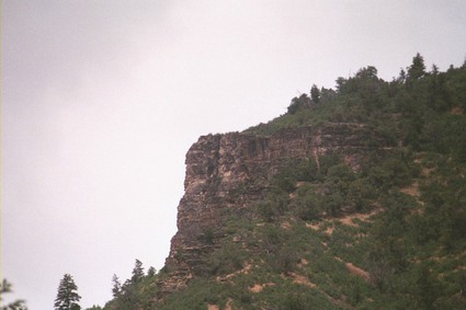
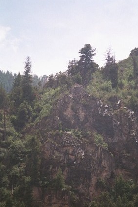
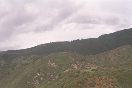
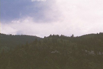
This was the day that I crossed the Rocky Mountains, and I was really glad I had not tried this route the previous year, when my little four-cylinder Honda Civic was fully loaded down with all my stuff. As it was, even with an only half-loaded car, climbing into the Rockies from the west side of Denver was a bit of a challenge. It's a pretty abrupt ascent, too; you just barely leave the city, and all of a sudden you find yourself having push pretty hard to even maintain 55 mph, not to mention 65. And in going through the mountains, you discover that when they have curves marked with those little yellow “45 mph” signs, they really, really mean it.
I wasn't able to capture as much of the beauty that I saw in this portion of the trip, since I saw most of it while navigating those 45 mph curves and switchbacks through the mountains. And when I say mountains, I mean mountains; sheer cliffs of sharply angled rock rising several hundred or more feet on one side of the highway, and a drop-off of another hundred feet or more to rushing water on the other side.
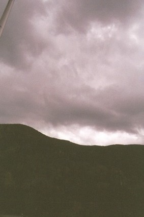
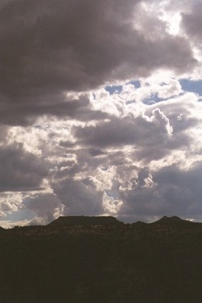
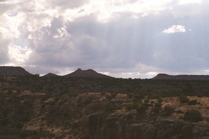
And there was more rain. Sometimes with sunshine at the same time.
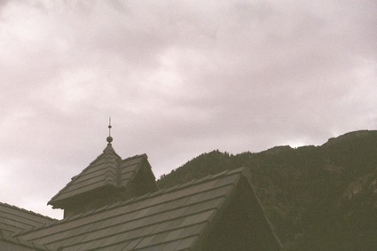
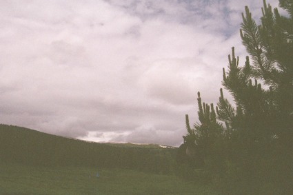
That is actually the name of the town where this rest stop was located. It's not that I can't remember the names of the places I was driving through. It had just stopped raining when I got here, and the sun was just beginning to appear again.
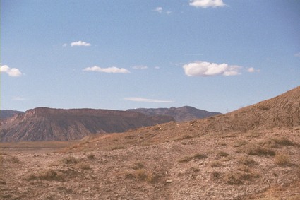
Here's another thing about these big western states: When I got to the Colorado-Utah border, I saw a sign that said: “Welcome to Utah. Visitor Center 50 miles” That's right, the visitor center was a full 50 miles inside the border.
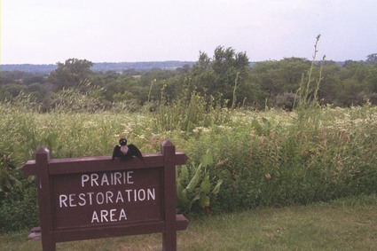
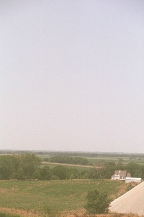
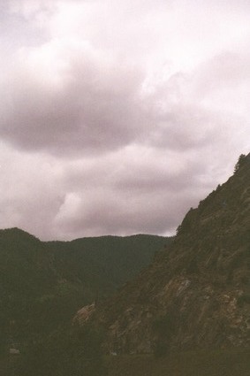
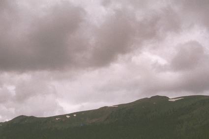
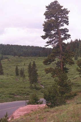
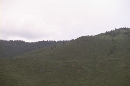
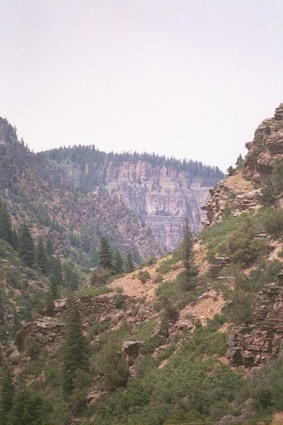
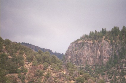
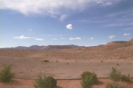
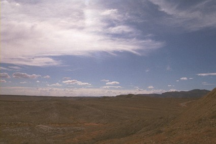
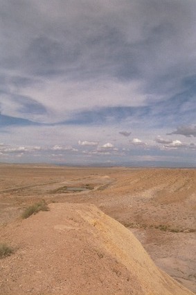
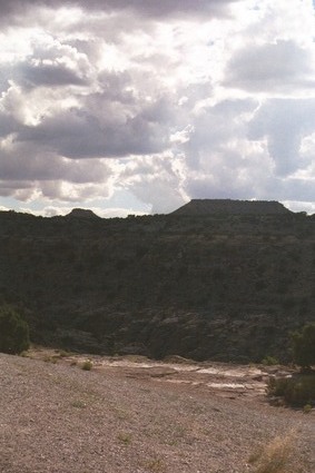
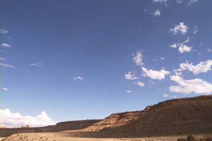
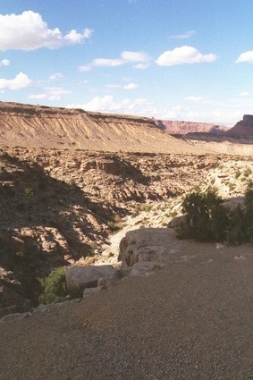
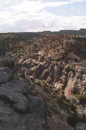
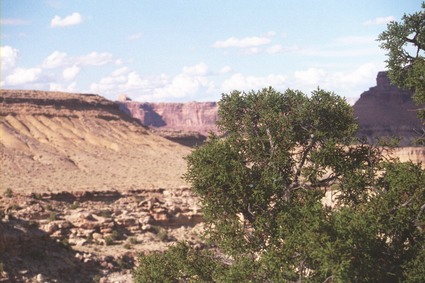
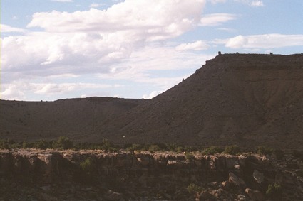
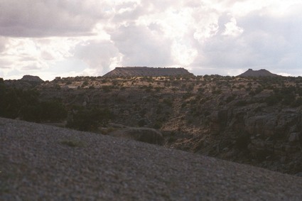
When I finally arrived at said visitor center, I found a rather neat little hill with a path running up one side. At the top it leveled out, and the drop off the other side was pretty steep. But at the top I had a really good view of the surrounding landscape.

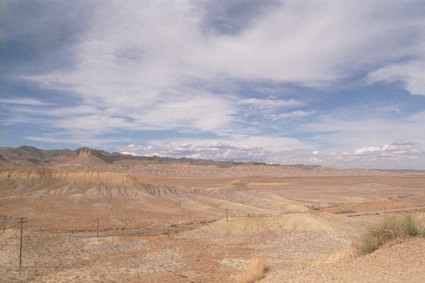
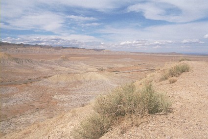
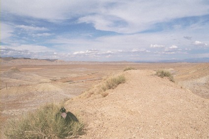
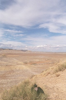
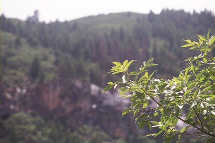
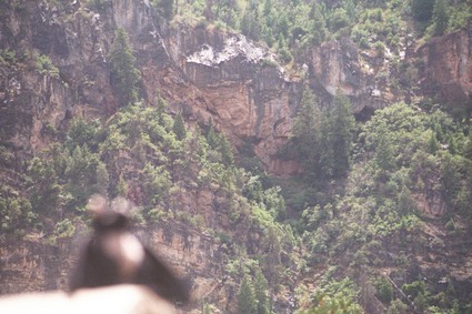
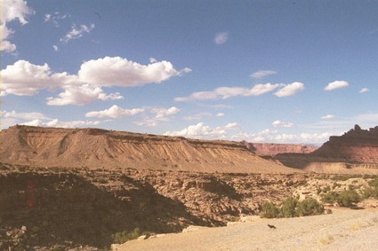
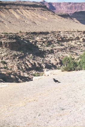
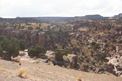
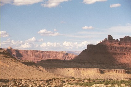
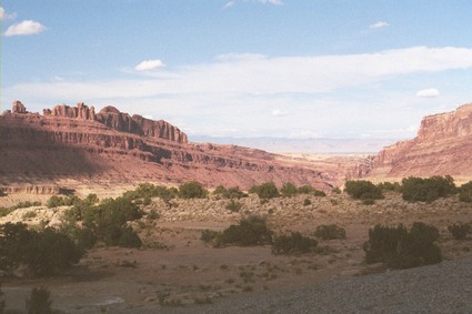
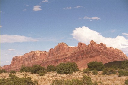
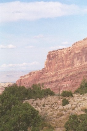
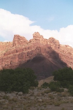
Black Dragon Canyon is the second of a series of scenic pull-offs in the canyonlands of northeastern Utah. It was also where I shot almost an entire roll of film. I was sorely tempted to stop at some of the other scenic sites, but I was pretty sure that I would run out of film before I got to them all.
Someday, though, I will return with more film and more time.
7 July 2006
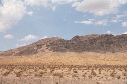
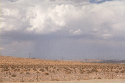
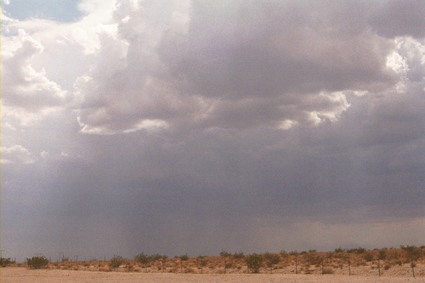
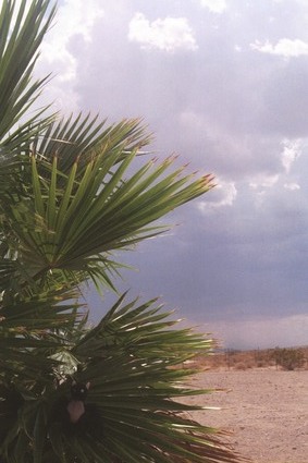
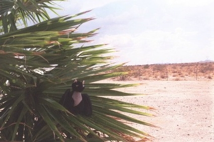
So it seems that every time I drive through the Mojave desert, it rains.
©2005-2006 by Peter Eichman. All rights reserved.